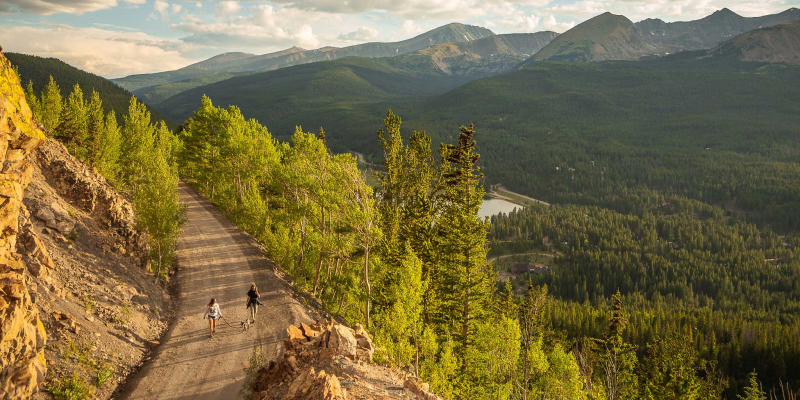
Breckenridge hiking is your opportunity to catch an amazing variety of scenic beauty as you explore the trails of our mountain town. From gentle paved paths that follow the Blue River to extreme hikes up the highest mountains, Breckenridge hiking offers an ability level for everyone.
Trails
Each trail on the Breckenridge Summer Trails Map leaves from a trailhead in town. Check out our SUMMER TRAIL MAP. Breckenridge manages a number of scenic trails for all skill levels. These trails lead to several scenic areas and interesting destinations throughout the county including Copper, Frisco, Keystone, Silverthorne and Dillon. For dozens of trails and hikes to choose from, visit here for more info.
Staff Favorites
Mccullough Gulch
The McCullough Gulch Trail is located 2.2 miles west of Highway 9 on the north side of Quandary Peak. It follows an old mining road .5 miles up the drainage before splitting off on a rugged path to White Falls and Upper Blue Reservoir. This spectacular lake has a long, open shore with many good vantages and nooks to explore. McCullough Gulch is a popular trail, especially among anglers and active families.
Mohawk Lake
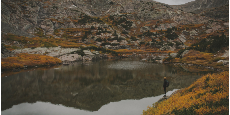
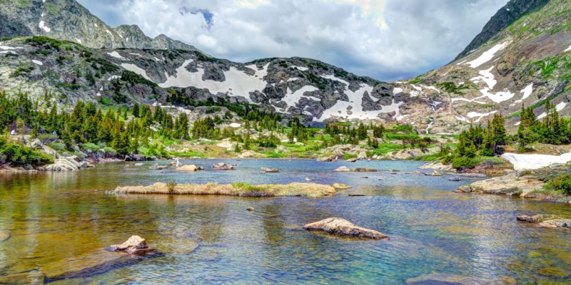
Lower Mohawk Lake and Mohawk Lake are located 2.95 and 3.35 miles from the Spruce Creek Trailhead south of Breckenridge. The lakes sit just at and above treeline along the south flank of Mt Helen in a spectacular glacial valley in the Ten Mile Range.
Peaks Trail
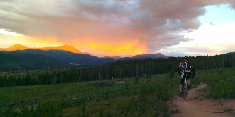
The trail climbs in and out of numerous drainages for its’ entire length staying mostly in the lodge-pole pine forest along with some aspen, spruce and fir forests. Since the grade from Breckenridge toward Frisco is generally downhill, many people travel this direction and ride the free Summit Stage Bus back to Breckenridge.
Quandary
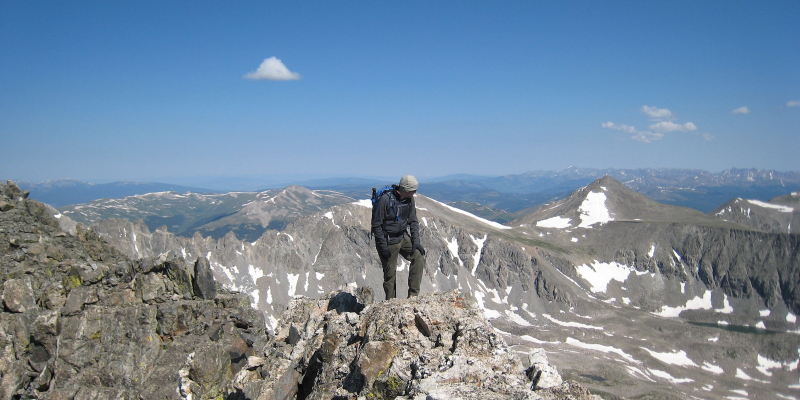
Quandary Peak is the high point of Colorado’s Ten Mile Range, an aesthetically-pleasing and rugged chain of peaks stretching south from Frisco to the Continental Divide. Easy year-around road access, a class 1 standard route, and panoramic views from the summit ensure that you’ll rarely find solitude on Quandary’s summit.
Boreas Pass
Boreas Pass Road was originally the Breckenridge Pass during the 1860’s. It was a route used by prospectors during the gold rush that were crossing from South Park in search of gold in the Blue valley around Breckenridge. It was widened to enable stagecoaches to use it during 1866 and during 1882 there were narrow gauge tracks laid on the pass. The pass was renamed Boreas by Sidney Dillion who had supervised the track lying to honor the Greek god of North Wind. This is a great road to view Fall colors.
Check out a few of our favorite properties for your summer vacay...

